
CSO deploys drones to improve mapping and national surveys
Published on June 15, 2026
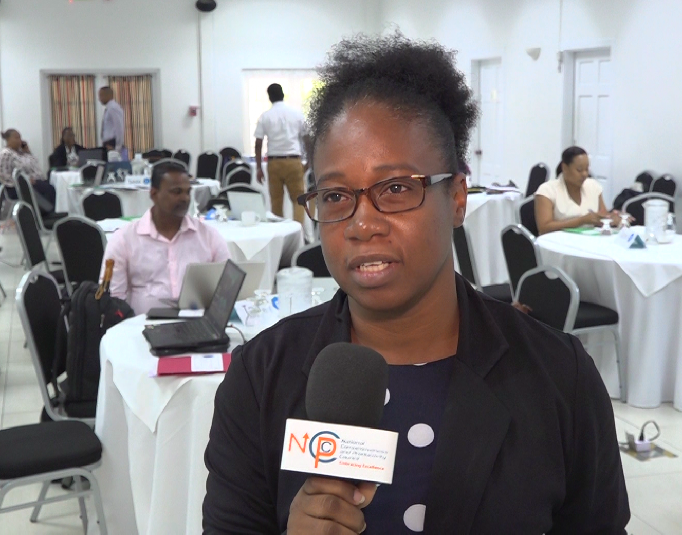
Mapping Supervisor at the CSO, Sherma Small
The Central Statistical Office has introduced new technology to improve the accuracy of national surveys and statistical data collection.
The agency has begun integrating drone technology into its mapping operations to ensure field officers have the most up-to-date information when conducting household surveys across the island.

Officials are assuring the public that the drones will be used strictly for statistical purposes and not for surveillance.
Mapping Supervisor at the CSO, Sherma Small, said keeping maps updated is a critical part of the agency’s work, ensuring that enumerators can accurately locate households and collect reliable data.
The newly acquired drones will help the agency capture current imagery, particularly in areas where significant development has occurred.
