Leveraging drone technology in determining population estimates
Published on July 28, 2025

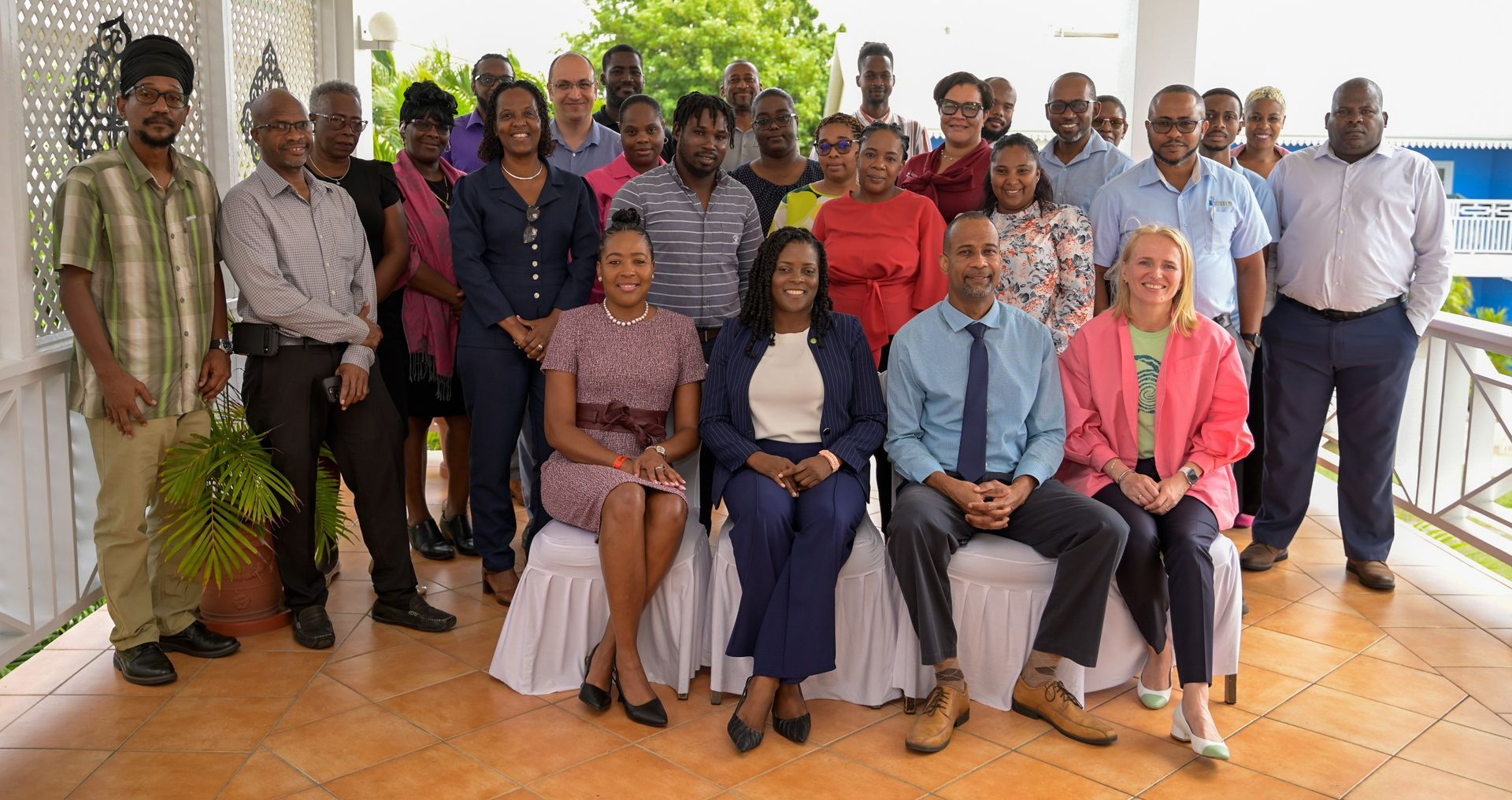
Saint Lucia has recently hosted a workshop entitled which sought to used Unmanned Aerial Vehicle [UAV] imagery to produce official statistics in Saint Lucia.
The workshop took place under the auspices of the World Bank-funded OECS Data for Decision Making project, the Organisation of Eastern Caribbean States (OECS) Commission, in collaboration with the United Nations Institute for Training and Research (UNITAR), and with the support of the United Nations Statistics Division (UNSD) and the Federal Institute of Technology Zurich (ETH Zurich),
Mr. Sean Mathurin, Director of Statistics, Central Statistics Office (CSO) in Saint Lucia, noted “This innovative approach is being applied by other ministries, departments, agencies, and sectors, including agriculture, urban planning, environmental monitoring, disaster management, and infrastructure development.
” Ms. Valrie Grant, Strategic Advisor on Geospatial Matters to the OECS Commission, emphasised how the lack of geospatial data affects small island states noting “if we do it right this work will help us target services more effectively, respond to disasters more quickly, and design climate adaptation plans that are actually grounded in the reality of people’s lives."

